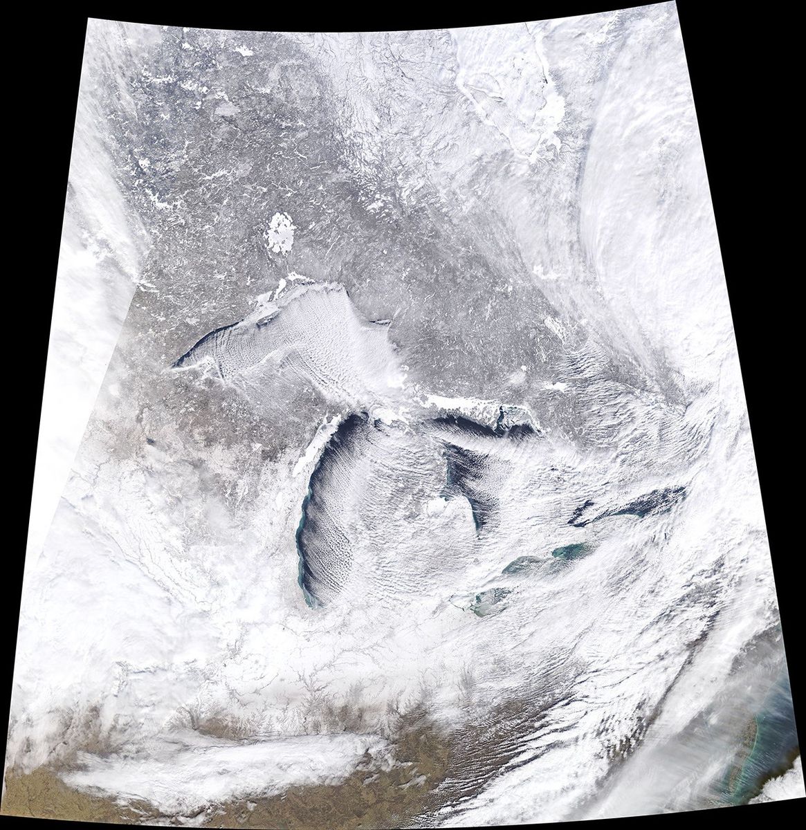
Arctic air is spreading into the Midwest this week, and forecasters warn that wind chills could fall below minus 40 degrees in parts of 12 states. NASA’s Earth Observatory published satellite observations Wednesday showing the Great Lakes region as the outbreak took shape.
Wind chill describes how quickly exposed skin loses heat under cold and windy conditions. Wind strips away the thin layer of air warmed by the body, so exposed skin cools faster than it would in still air at the same temperature. That is why a temperature reading alone can understate what it feels like to wait outside for a bus or work in an open loading area.
The polar vortex is a broad circulation that normally helps keep the coldest air near the pole. When atmospheric circulation is disrupted, a portion of that cold air can spill much farther south. This week’s outbreak illustrates how a change on an atmospheric scale can shape everyday decisions about commutes, school schedules and outdoor work.
For people with dependable heat, staying indoors may be straightforward. For neighbors without it, or for workers who cannot avoid exposure, the same forecast can mean finding a warm place to wait or changing how a shift is staffed. The numbers on the forecast are a reminder to check who has a realistic way to get out of the cold.
Reporting source. Cover photo: NASA Earth Observatory image by Joshua Stevens, using MODIS data from NASA EOSDIS/LANCE and GIBS/Worldview.